A Google Street View Survey of Yucca Valley Signs
May 18th, 2015
Below is a brief and low-quality image tour of signs and buildings along the Twentynine Palms Highway in Yucca Valley (California State Route 62, SR 62). All of these places can be seen on the way to Joshua Tree when traveling from the west.
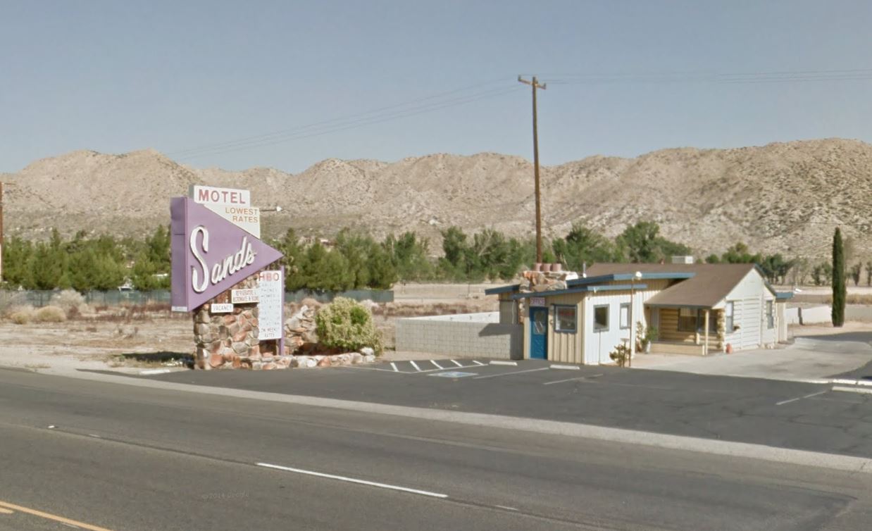
The Sands Motel is the first to welcome visitors to Yucca Valley
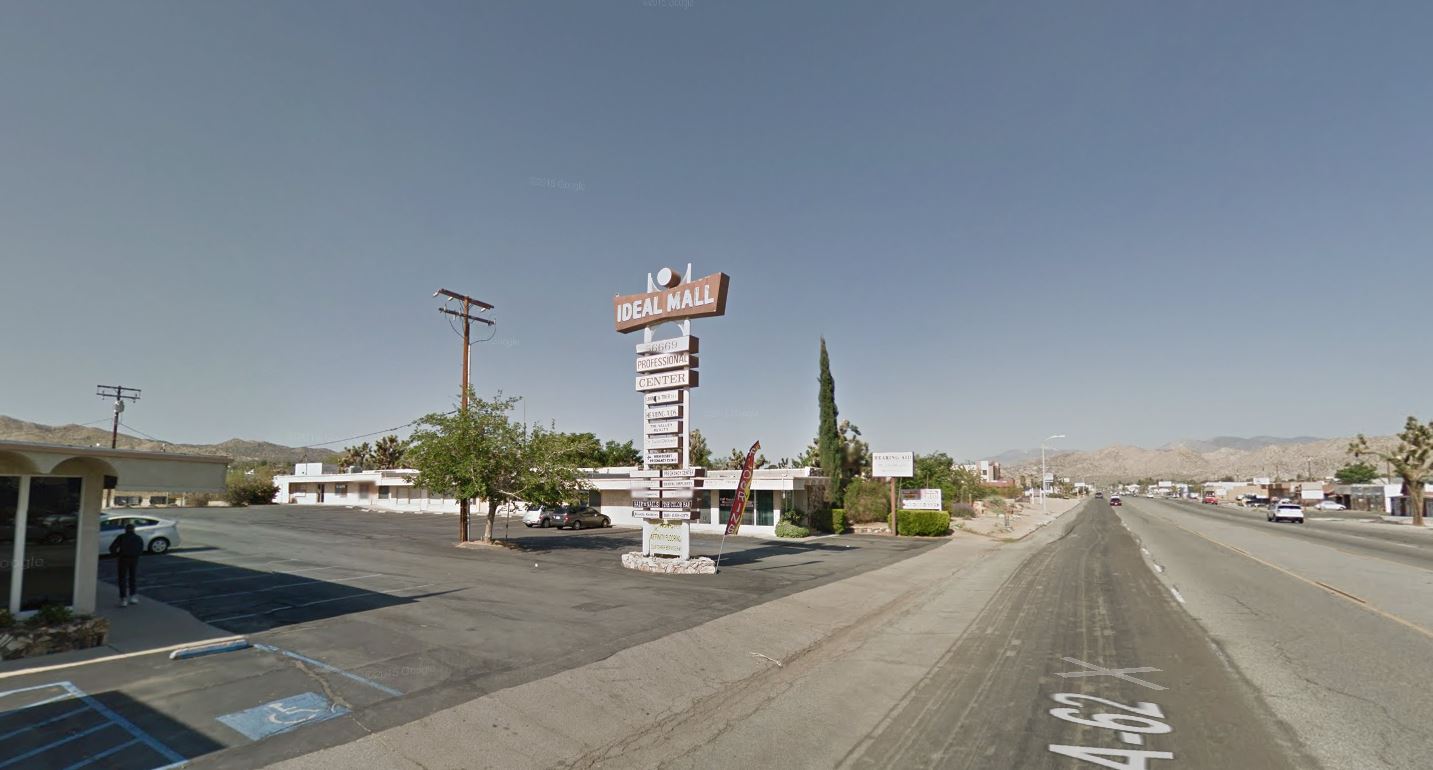
Ideal Mall.
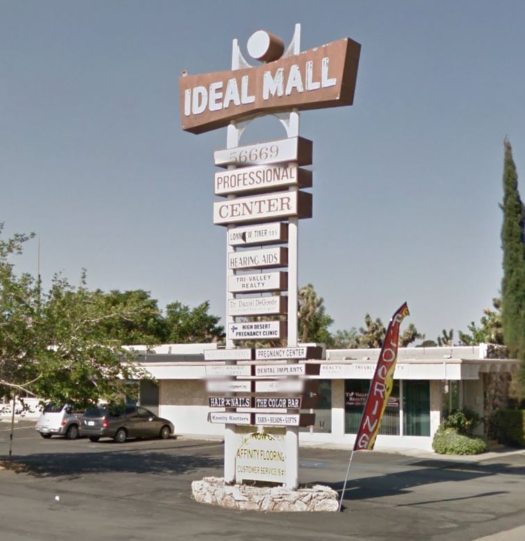
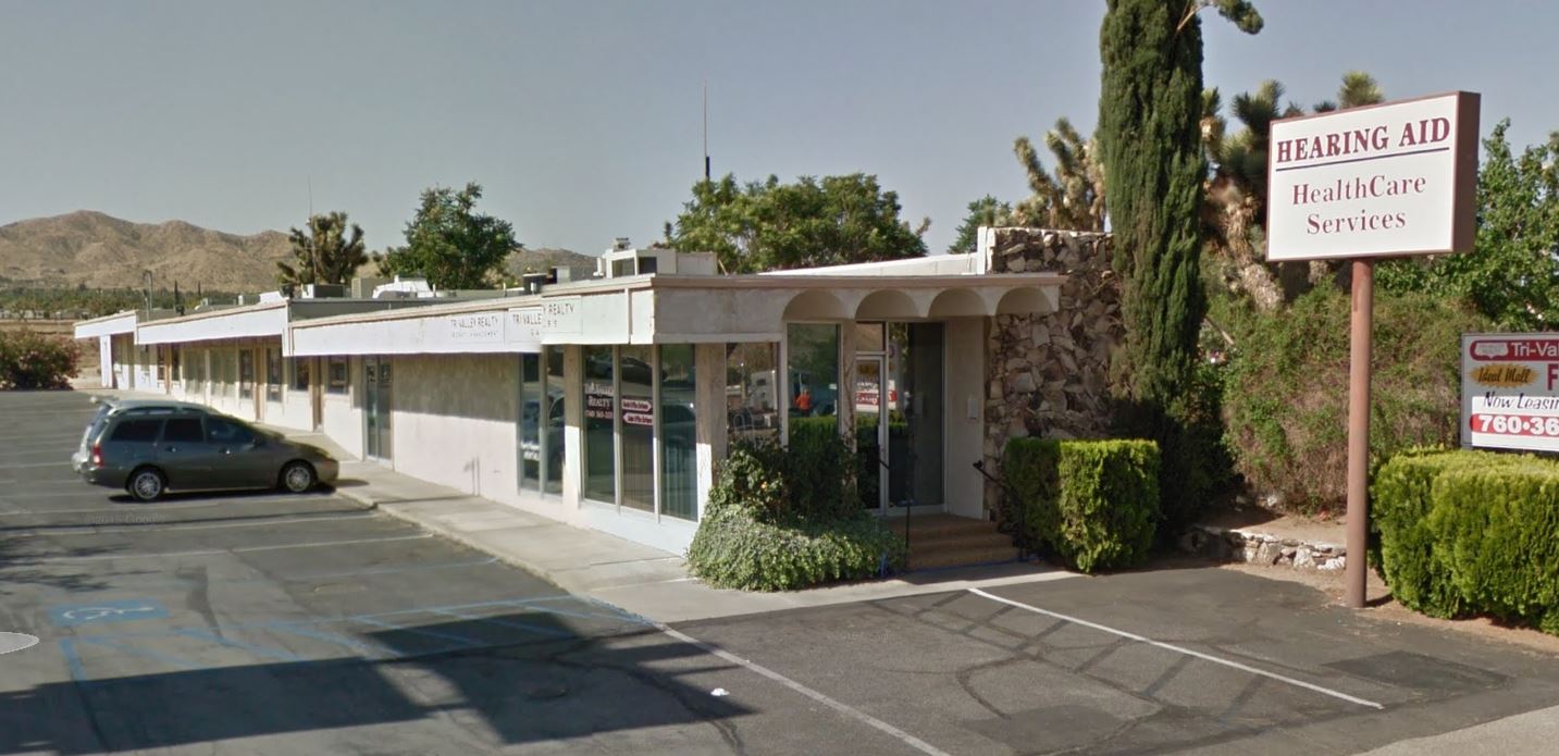
Only one of the roof jogs seen below is the result of Street View image stitching.
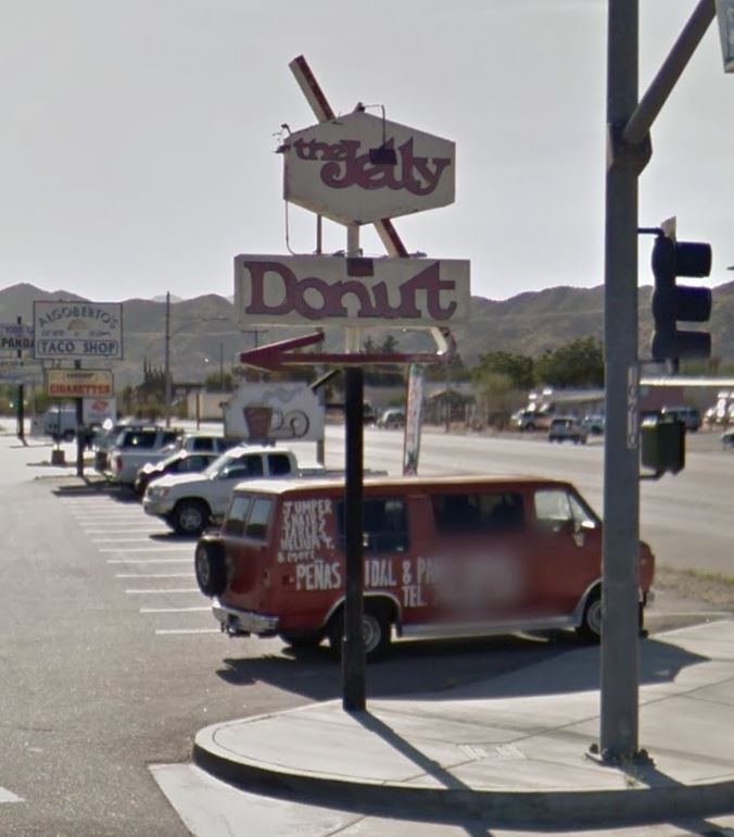
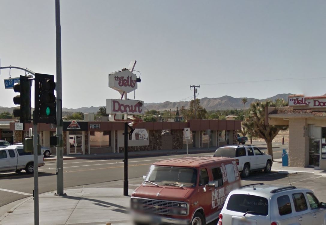
Jelly Donut sign. The best Street View vantage opposes the sun, but a great sign even when shaded. Note the upside-down 7 arrow and arrowhead with a similar line weight.
Check out these Flickr images by jericl cat: Sign Detail and Type Detail
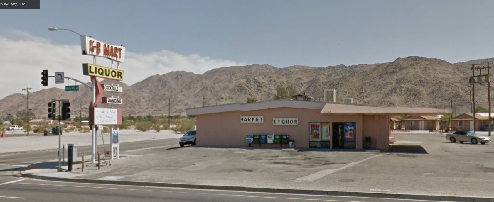
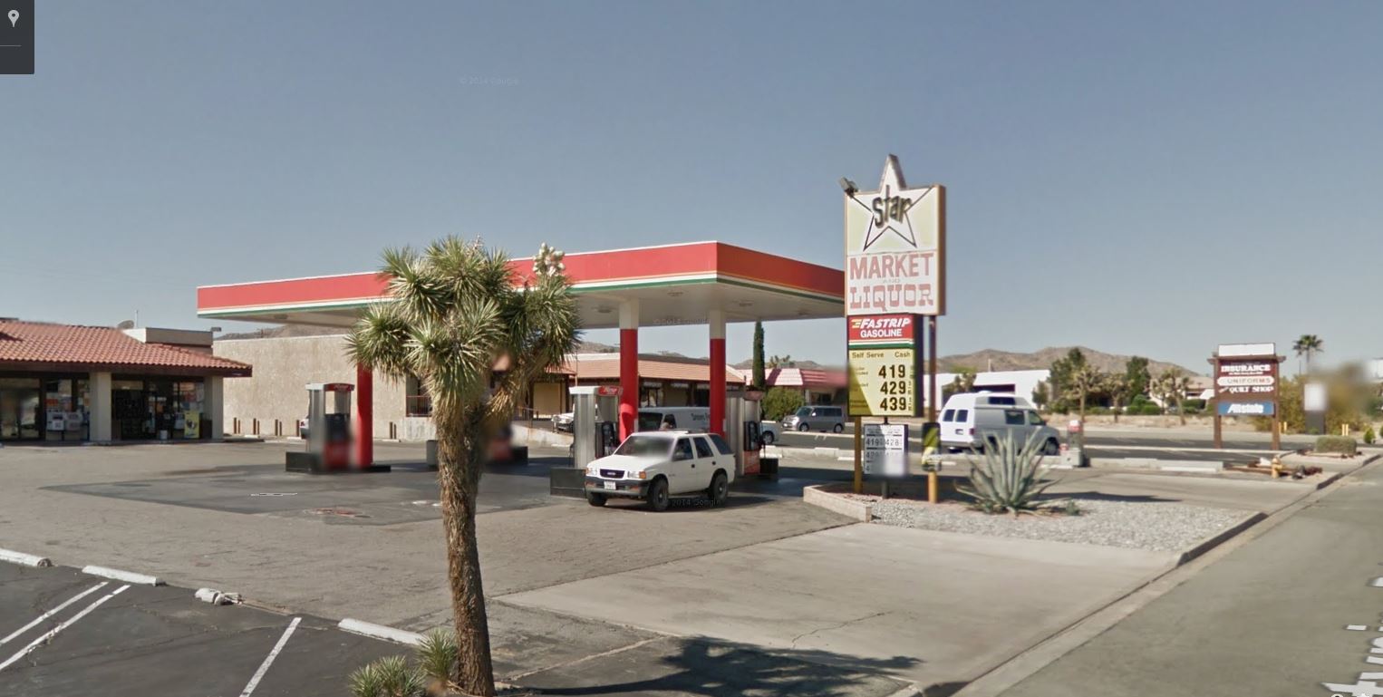
K-B Mart. The sign is populated with Googie elements. Enlarge the image to see the “Market Liquor” typeface on the wall.
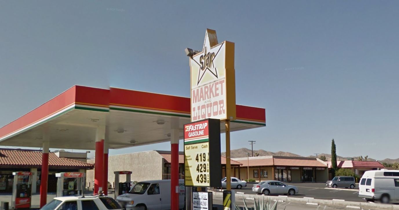
Star Liquor.
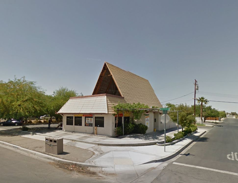
Unknown A-frame semi-obscured by a mini-mansard.
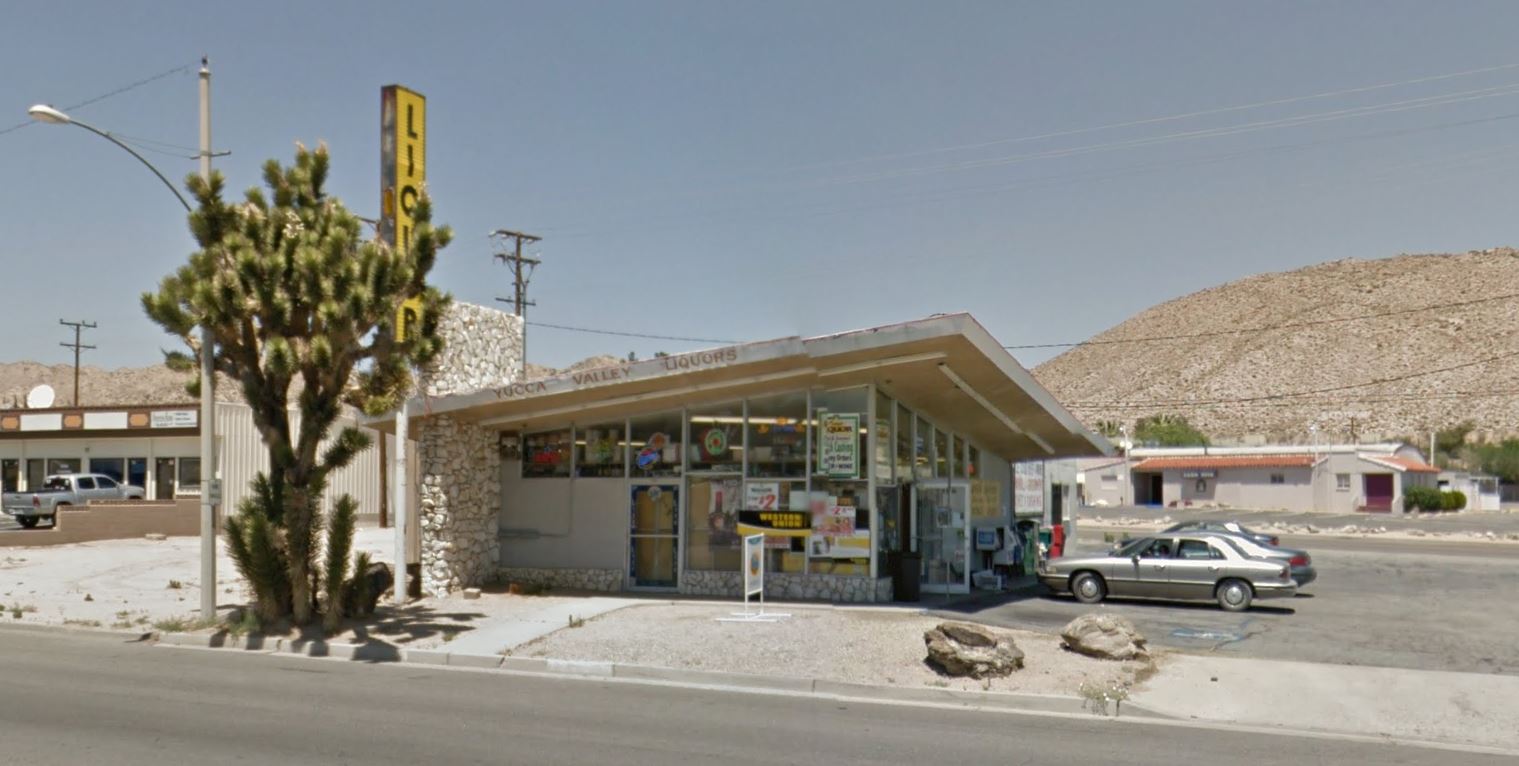
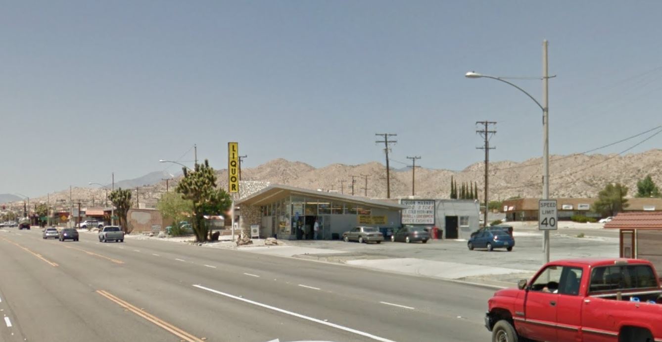
Yucca Valley Liquor is easy to spot when traveling westward.
Categories: Google Street View
Tags:
One Response to A Google Street View Survey of Yucca Valley Signs